
|
|
|


Edmonson County's Number One Source For Local News and Information
|
|
|
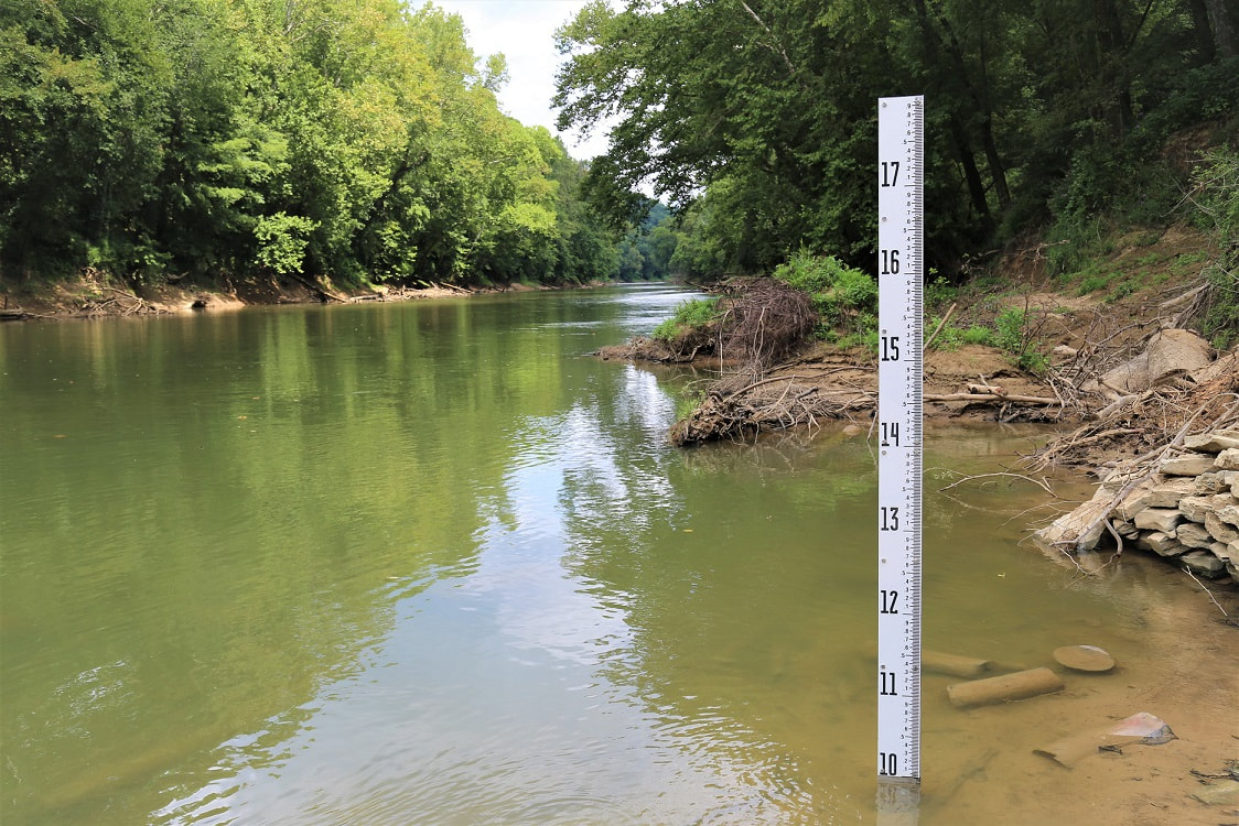 New water gauge at Green River Ferry Crossing. (photo: MCNP) MAMMOTH CAVE, Ky., August 6, 2018 - Mammoth Cave National Park has taken two new steps to improve river safety for park visitors who utilize water craft on the Green River. The park has installed a new water gauge at the Green River Ferry Crossing, and instituted a new River Response team of employees who are specially trained to deal with a variety of emergency situations along the river. The park recently installed a new water gauge at the base of the ferry landing at the Green River Ferry Crossing which will now match the real time river level data tracked by the United States Geological Survey (USGS). Boaters can access the USGS data through the park’s website at www.nps.gov/maca/planyourvisit/boating.htm to see current water level conditions which will help them better prepare for a river trip through the park. Frequent river users will notice that the new gauge now reflects a river height based off of the height from the river bed rather than from a set base water level. This means paddlers will now be unable to utilize the river when the level is at or above 20 feet on the new gauge, instead of the previously utilized 10 feet height which corresponded to the old gauge. “The level of water which triggers the safety closure for canoeists and kayakers has not physically changed, only the measuring instrument we use to make that determination,” said Chief Ranger, Lora Peppers. “Under the new gauge that safety precaution number is reflected at the 20 foot mark. It is the same amount of water, but a different way of reading the levels on the river.”  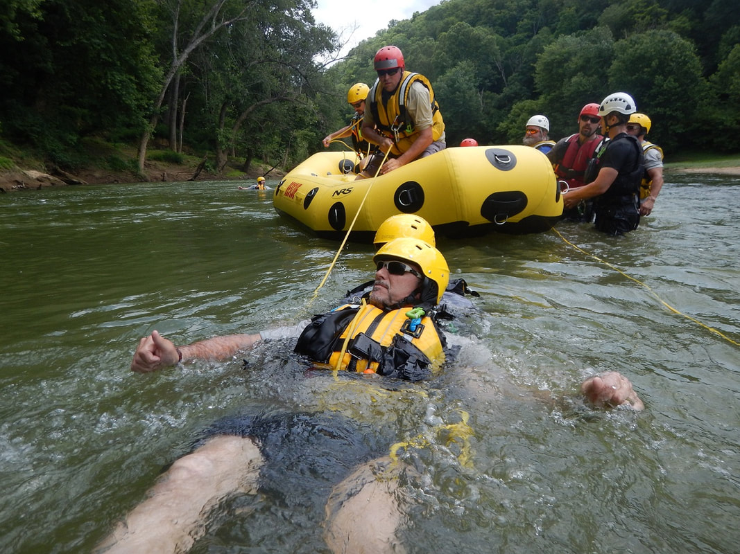 Park employees train for boater emergencies. (photo: MCNP) In addition to updating the river gauge, the park has also formed a River Response Team of park employees who have been specially trained in rescue and response operations for various situations along the river corridor. These employees have undergone extensive training in river search and rescue procedures and are now better prepared to assist park boaters in emergency situations. River rescue operations have been more frequent in the park since the breech and subsequent removal of Lock and Dam 6. “River levels have dropped several feet from the lack of Lock and Dam 6 which has caused faster moving currents to occur more frequently along the Green River. We have also seen an increase in fallen trees and branches along the waterway which create additional hazards for water craft to navigate around,” Superintendent Barclay C. Trimble added. “While the river is still an enjoyable experience for most water craft, we want our staff to be fully prepared and equipped to assist both within the park and in the surrounding areas when we are able.” River users are reminded to plan ahead and check current water levels and forecasted weather conditions prior to departing on a trip through the park. River levels can change rapidly and hazards such as fallen or submerged trees and rocks, drifting debris and swift currents exist. Personal flotation devices (PFDs) must be worn at all times and alcohol use is prohibited on the river. More information about river safety can be found on our park’s website: www.nps.gov/maca/planyourvisit/boating.htm. 
0 Comments
Your comment will be posted after it is approved.
Leave a Reply. |


Archives
April 2024
|